
Visiting the walls

Where are the Walls of Cartagena and the San Diego map

Cartagena’s walls run along part of the historic centre beside the bay. The reference point we use to orient you sits in San Diego, the neighbourhood where several elevated-walk sections begin with the most continuity.

Updated: 30 October 2026

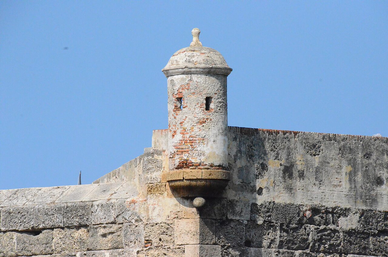
Garita y muralla de Cartagena, fotografía de Joe Ross de 2016
Joe Ross · 2016 · CC BY-SA 2.0

The reference point

The listing reference is Cl. de la Serrezuela, San Diego, Cartagena de Indias, Bolívar, Colombia, at coordinates 10.4296098, −75.544865. It is useful for opening the map and planning how to arrive, but it does not mark every ramp nor certify a step-free access.

San Diego is a historic district inside the walled enclosure. From there you can connect the wall walk with pedestrian streets, plazas, and the defensive edge overlooking the bay.

How to read the enclosure map

  • Look for bastions (projecting structures) and sentry boxes as orientation points.
  • The elevated walk and the street-level paths cross at several points; the map helps you decide where to climb up and down.
  • The enclosure is not a continuous accessible ring: there are sections, plazas and level changes worth reviewing before walking.

Before you leave

Open the map at the San Diego reference and mark an entrance and exit near what you want to visit. That avoids doubling back under the sun.

Frequently asked questions

Frequently asked questions

Where exactly are the Walls of Cartagena?

They run along part of the walled historic centre of Cartagena de Indias, Bolívar, Colombia. We use the San Diego reference (Cl. de la Serrezuela, 10.4296098, −75.544865) as an orientation point, not as the only entrance.

Is the map point the only entrance?

No. The reference helps open the map; several accesses and ramps exist along the enclosure. See the access-points guide on this site for options.

Do the walls surround the whole old town?

Not continuously or accessibly. The enclosure is a defensive system with sections, plazas and forts; the elevated walk has level changes and not every sector connects without steps.

Can I walk on the wall the whole time?

Only on the enabled sections. Alternate the elevated walk with Centro and San Diego streets; respecting the level changes is part of the visit.

Which map should I use to orient myself?

Open the map at the San Diego reference and combine it with this page’s access-points guide. For live locations, use an official or the linked Google Maps reference in the sources.

Sources

Sources and verification

This guide gathers information from public sources and is not an official website. Verify accesses and services on your visit day.